Saturday, July 16, 2022

Emmons-Winthrop Update


For this point in July, the Emmons is holding up quite well. Mount Rainier has experienced consistently high freezing levels in the past week (~14,500ft) and the extended forecast is predicting this trend to continue into next week. With this warming, expect to encounter suspect snow bridges, widening cracks, and a continually changing route.

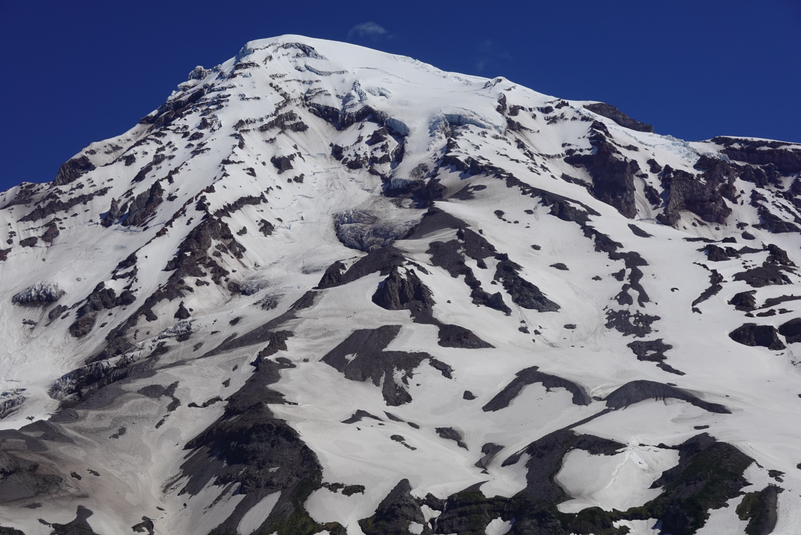
View of the Emmons-Winthrop

Even though there may be a well worn boot-pack in spots, this route may have been established when bridges were more supportive and conditions were different.

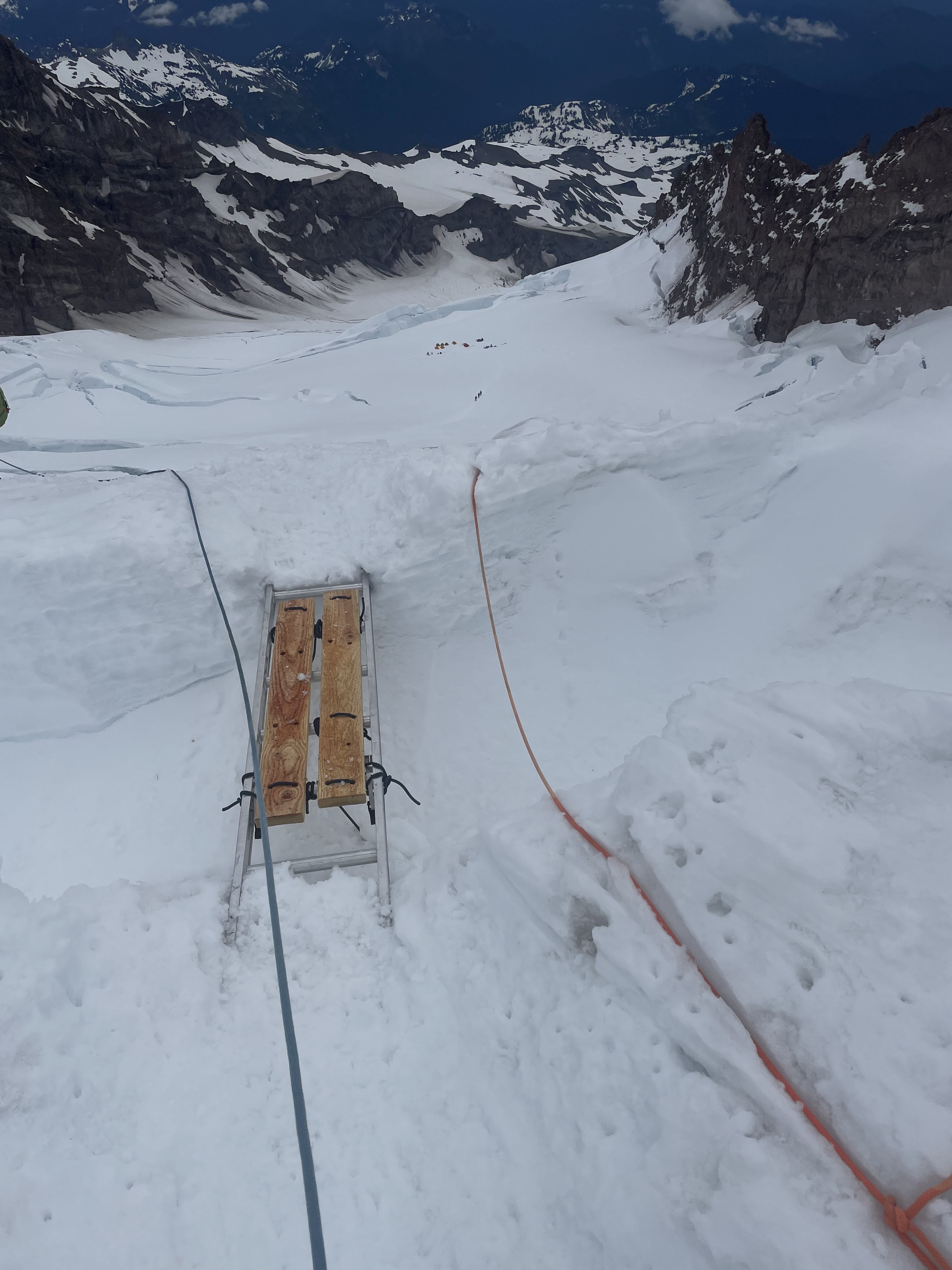
Snow Bridge at 11,400


Snow Bridge at 12,800 

Climbers are encouraged to analyze their decisions when picking the best route, don’t blindly follow the path most traveled. Consider options to end-run hollow bridges, take a different path, or if it’s not feeling right head back to camp!

Friday, July 15, 2022

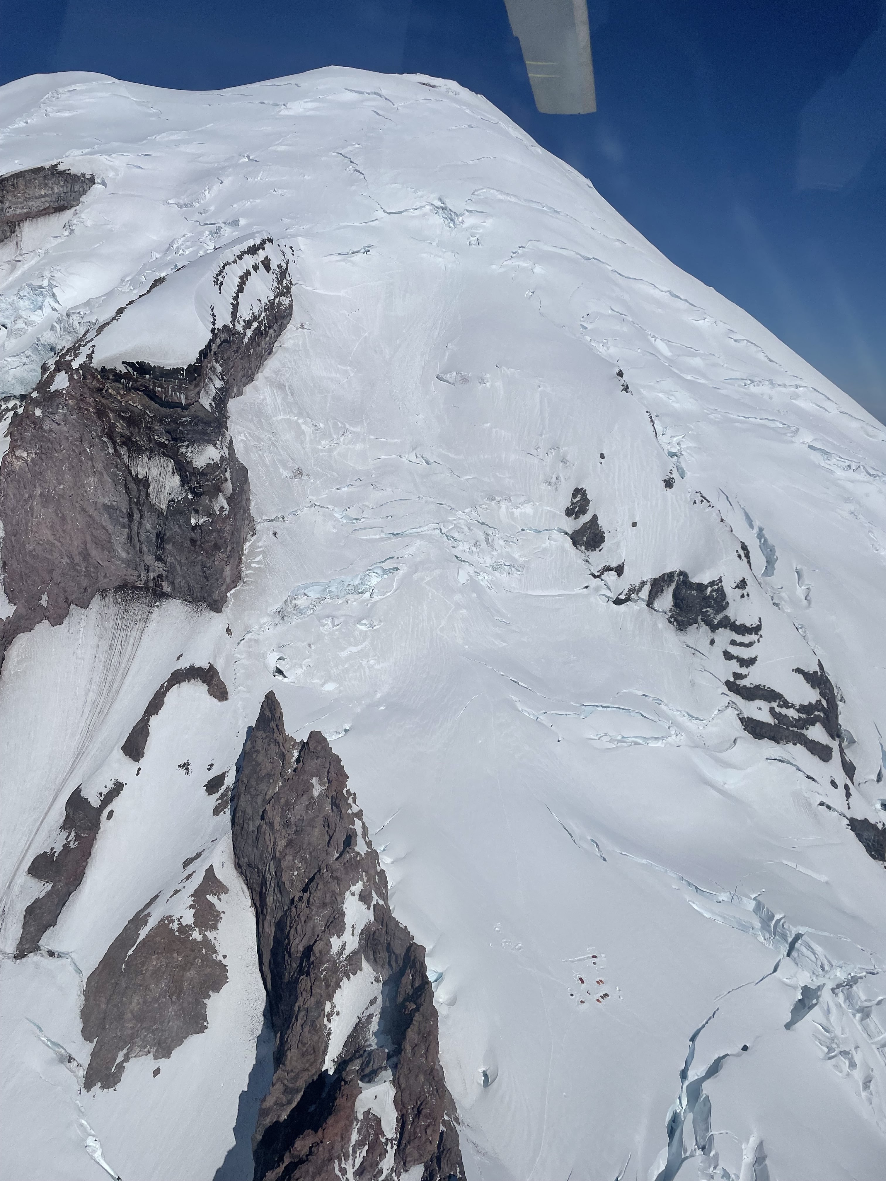
South Side Aerial Photos. It's looking good!

Coverage is looking good on the Mount Rainier. Climbing routes and some ski descents seem to still be in great shape! 


The Kautz glacier, the Turtle, the Wilson glacier/Furher Finger, and the Nisqually.


The Kautz glacier, the Turtle, the Wilson glacier/Furher Finger, and the Nisqually.


A view of the upper and lower Kautz glacier and the Van Trump zone.

Thursday, July 14, 2022

Route Switch! Ingraham Direct to Disappointment Cleaver

As of 7/13, the guide services have switched their standard route from the Ingraham Direct (ID) to the Disappointment Cleaver (DC). Markings such as wands and ladders have been removed from the ID; handlines are available on parts of the DC route, but should not be clipped into, just used as a hand hold.  As always, use your own judgement as to where and how to climb.. and if you’re unsure - take the time to focus on training instead of the summit and as always, consider going with one of the amazing guides who operate on the mountain!

Emmons-Winthrop Update

The most trodden Emmons-Winthrop route remains generally similar to what it was a week ago, but with much warmer temps, crevasse crossings have begun to melt out, and the route has switched to go over alternate crossings in some areas. While the clearest boot pack may still clearly lead to older crossings, it’s a good idea to evaluate each one, as changing conditions may have negated their stability. Always remember that the boot pack here is simply where people have walked before, and that it doesn’t necessarily mean that the route it takes is the safest or most advisable. This route is constantly changing, especially with warmer temps.

Crevasses above the corridor
The route at glacier basin still crosses over white river via snow, but this crossing is moving higher as the snow melts. Caution is advised when choosing a route in this area.

Glacier Basin

Recently there's also been an uptick in the number of climbers travelling un-roped, including climbers ascending the Emmons glacier to Camp Schurman, coming off rope as they descend the corridor, and even travelling off rope for their entire ascent of the upper mountain. This is extremely ill-advised. Significant hazards are always present in these areas, and with warmer temperatures the odds of punching through into an unseen crevasse are even higher. 

The mountain viewed from Camp Schurman

Crevasses are present in the lower Emmons, between Camp Schurman and the Emmons Flats, and throughout the upper mountain. Climbers who feel they are in an area where the risk of an un-arrestable fall is higher than that of taking a crevasse fall should consider other measures, such as placing running protection, and adjusting rope spacing.


Sunday, July 10, 2022

Ingraham Direct Route Update 07/09/2022

Sunset over Mount Adams from Camp Muir

Guide services are still utilizing the Ingraham Direct route at this time. The route is still in good condition and is expected to be in use for the next week or so. The Ingraham Direct route has migrated climber’s left towards Gibraltar Rock from a couple weeks ago. It is no longer switch-backing over to the top of the Disappointment Cleaver. This route variation avoids the large serac hazard that was present on the previous route variation.

Ingraham Direct Route from Ingraham Flats

Overview of the current Ingraham Direct route from 07/09/2022

Icefall and rockfall coming off Gibraltar Rock

Serac hazard is minimized with this route change, but rockfall and icefall hazard from Gibraltar Rock are of concern. The mountain is seeing increasing freezing levels over the course of the weekend, reaching 15,000 feet levels by Monday. These are the highest freezing levels the mountain has seen this year and only the second significant warming event. Intermittent clouds will be shrouding the mountain all weekend and may prevent substantial overnight recovery. Don't be surprised by soft climbing conditions, softening snow-bridges and more climbers on the mountain. Mitigate hazards by climbing early, taking breaks in strategic locations, and getting back to camp early.

Ladder spanning crevasse on Ingraham Direct

Second ladder crossing on Ingraham Direct
 
There are currently two ladders on the route starting at roughly 11,600' adjacent to Gibraltar Rock. The first ladder is horizontal, spanning a relatively narrow crack, and has planks covering the rungs allowing for a fairly simple crossing. The second ladder crossing is made up of two ladders lashed together spanning a wider crack and at an upwards 45 degree angle. There is a handline secured with pickets above this ladder. This ladder crossing is more complex and parties may be struggling or moving slowly here. Expect bottleneck at ladder crossings, be patient, be courteous, stick together, and keep a head’s up for rockfall and icefall coming off of rocks.

Looking down on Camp Comfort from 13,500 feet

Wednesday, July 06, 2022

7/6 South Side Aerial Photos

Below are aerial photos from the south side of Mt. Rainier over the weekend.  These may be helpful for broad trip and route planning purposes.

Looking up the broad and well defined ridge of Success Cleaver


Kautz Glacier

Fuhrer Finger (the couloir with ski tracks) & Fuhrer Thumb 

Ingraham Direct. Photo taken above Cathedral Rocks. 
Note Ingraham Flats tents for reference